Navigating the platform
This article provides an overview of the NUVIEW Platform user interface (UI). After logging in, you'll land on the Projects home screen. The left sidebar lets you switch between the four main sections of the platform.
Left Navigation Bar
The left sidebar is always visible and provides access to:
- Logo — Click to return to the Projects home screen.
- Projects — View and manage your projects and sites, monitor changes over time, and interact with satellite imagery on the map.
- Data Management — Upload and manage geospatial data files for use in your projects.
- Orders — Task and order high-resolution satellite imagery.
- Search — Search across satellite imagery catalogs by area of interest and date range.
At the bottom of the sidebar:
- Support — Access help and support resources.
- User Profile — Click your initials to access account management or log out.
Projects Screen
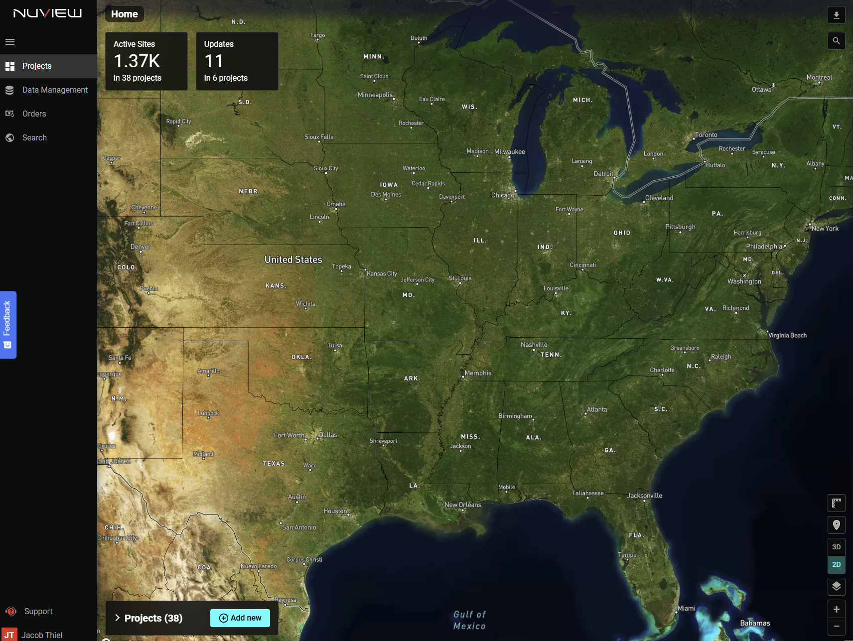
When Projects is active, the main panel shows:
Home Stats
- Active Sites — Total number of active sites across all your projects.
- Updates — Number of recent updates across your projects.
Projects List
Displays all your projects with name and last-updated date. You can:
- Search by project name using the search box.
- Sort by project name or last-updated date.
- Click a project name to zoom to it on the map and open its sites list.
- Click the open icon to navigate directly into a project.
- Click Add new to create a new project.
Map Controls
The map on the right side of the screen provides standard controls:
- Search — Search by address or GPS coordinates to navigate the map.
- Measure — Measure distances and areas in standard units.
- Coordinates Mode — Display live coordinate readout next to your cursor.
- 3D / 2D toggle — Switch between 2D and 3D map rendering.
- Layers — Toggle map layers, labels, vector overlays, and imagery sources.
- Zoom In / Out — Fixed zoom controls.
Data Management Screen
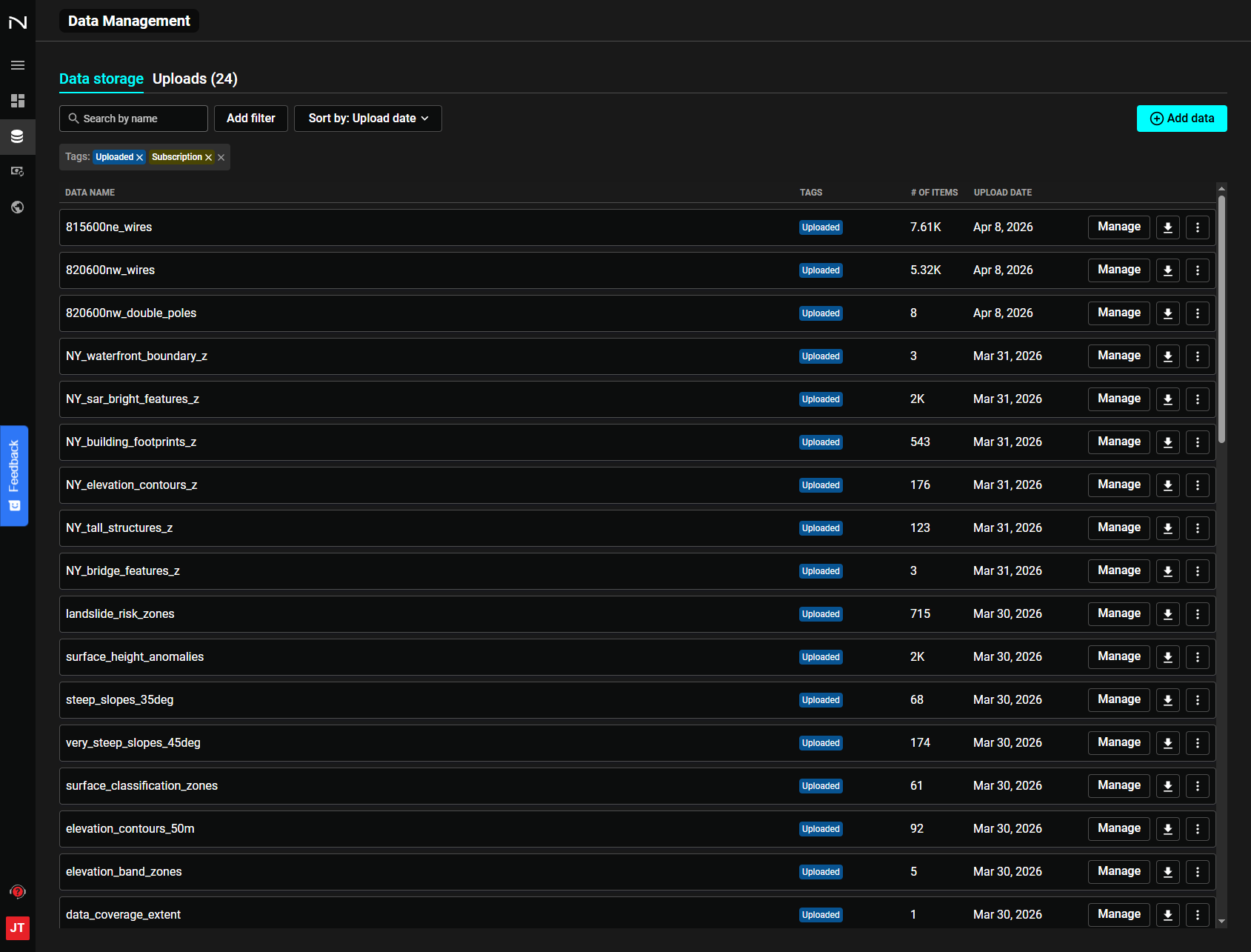
The Data Management section allows you to upload, view, and manage geospatial files (GeoJSON, KML, KMZ, GPKG, SHP). Data uploaded here can be added to any of your projects.
The Data Management section will be empty until you have uploaded geospatial files or you are added to a workspace with files uploaded. Contact support@nuview.space to be added to a workspace.
Orders Screen
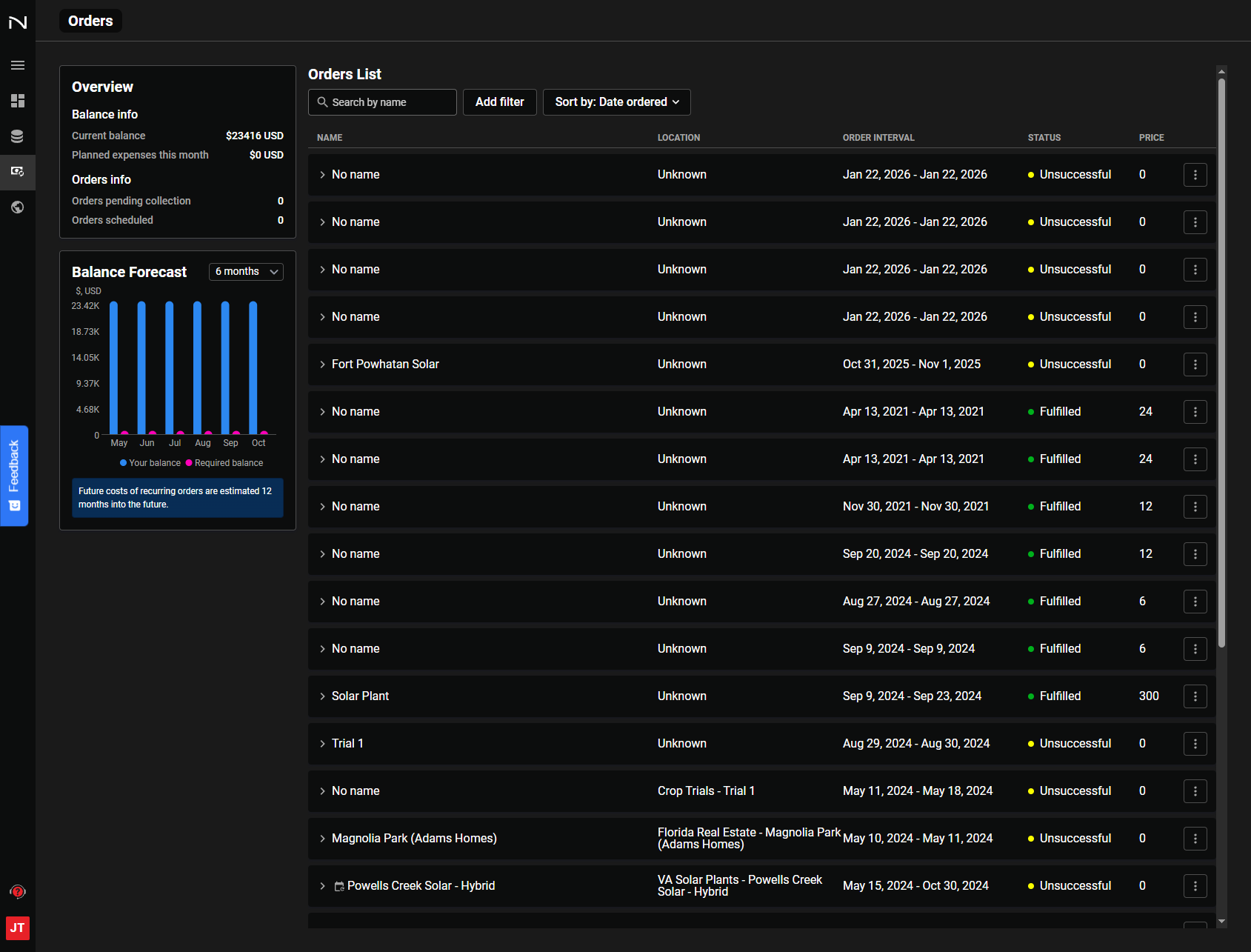
The Orders section is where you task and track high-resolution satellite imagery orders. See the Tasking section for full details.
Search Screen
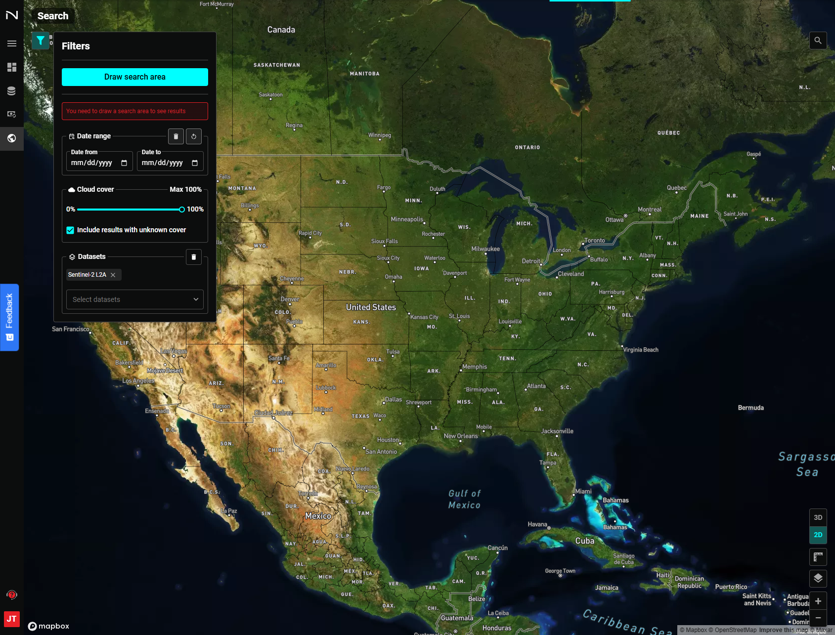
The Search section lets you search across multiple data catalogs including satellite, open SAR data, DEMs, and lidar point clouds.
Specify an area of interest, filter by date and cloud cover, browse available imagery, and peform basic analysis such as A|B comparison as well as measuring distance and area. You can view a single scene or mosaic multiple scenes within your browser.
See Search for full details.